From the drone outputs we can also produce low-interval contour maps of your site using photogrammetry. This can give you a contour line at any elevation interval you need.
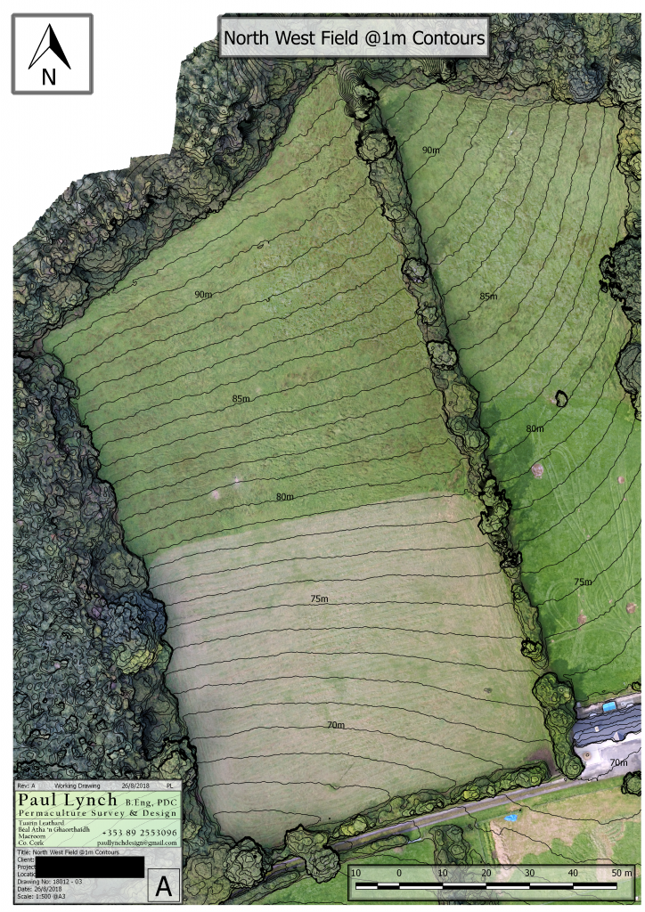
This is an invaluable tool for water catchment design and elevation planning. Best results are on terrain with little vegetation or obstruction such as grazed fields or areas under cultivation. Because of this we find the minimum useful interval to be 1 meter or possibly down to 0.5m on sites with extremely tight vegetation.